


 Searching...

 Previous
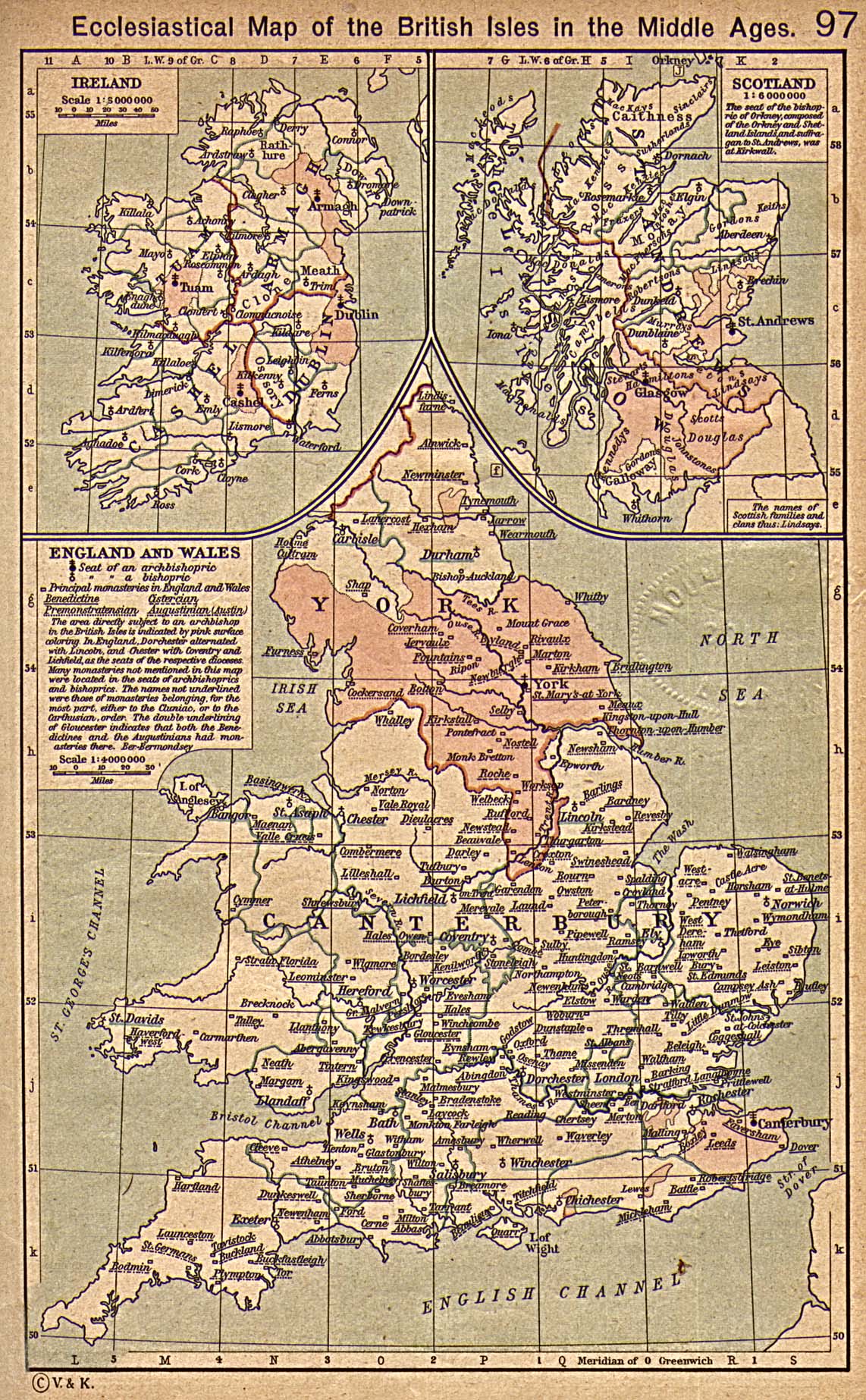
 Next
NextDisplaying image 132 of 467 images in History.
Not yet rated
No
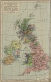
British Isles Ecclesiastical Map in the Middle Ages. From The Historical Atlas by William R. Shepherd, 1923
Source: University of Texas at Austin, Perry-Castaneda Library, Map Collection
http://www.lib.utexas.edu/maps/
Comments
There are no comments.
Be the first to post one.
Posting Comment...