Displaying image 5 of 467 images in History.
2 ratings
No
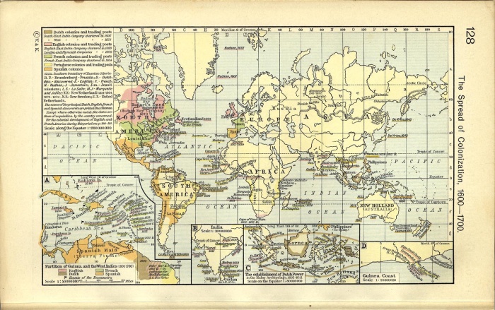
Includes these inset maps: Partition of Guiana and the West Indies 1600-1700; India; The Establishment of Dutch Power in the Malay Archipelago, 1602-1641; and Guinea Coast.
Source: University of Texas at Austin, Perry-Castaneda Library, Map Collection
http://www.lib.utexas.edu/maps/
Comments
There are no comments.
Be the first to post one.
Posting Comment...


 Searching...

 Previous
 Next
Next